
From Weather Underground:
The cold front associated with the low pressure system will cross
central North Carolina late tonight. A band of showers and
possibly a thunderstorm or two will occur ahead of the front.
Where the heavier showers and storms occur... wind gusts up to 50
mph may occur. These type of winds will be capable of Downing tree
limbs.
While the winds aloft favor the possibility for severe
thunderstorms... it appears that the airmass will lack the
needed instability to trigger and sustain severe thunderstorms.
However... if the air over central North Carolina is able to become
even slightly unstable... then scattered severe thunderstorms would
become a better possibility. Damaging straight line winds up to 70
mph and isolated tornadoes would be the primary severe weather
threats."
At least the ski slopes in WNC have snow - at Hawksnest this morning:
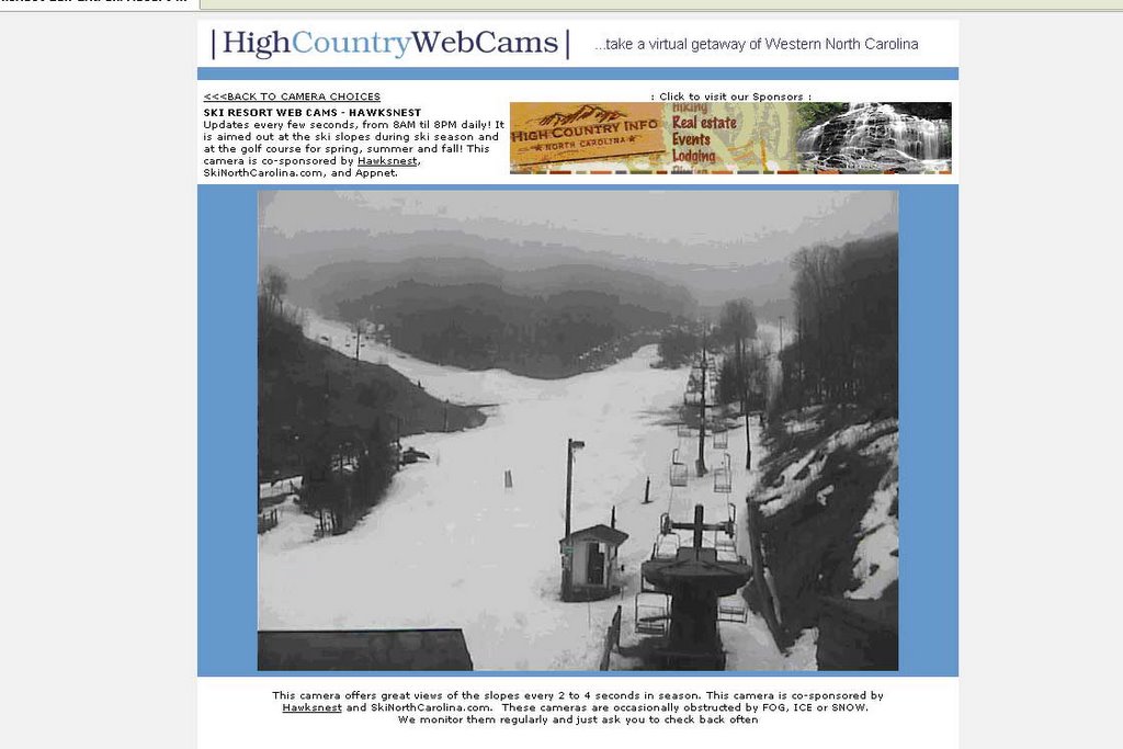
See more cool webcams of the slopes here.


No comments:
Post a Comment