Expires 5:00 PM EST on December 14, 2005
Statement as of 11:08 AM EST on December 14, 2005
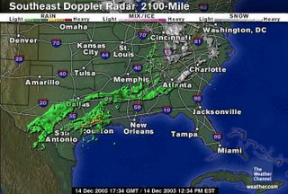
... Potential for a breif period of freezing rain over the central Piedmont of North Carolina late tonight through Thursday morning...
Precipitation will overspread central North Carolina from the south late tonight... and become heavier and more widespread during the day on Thursday. For portions of central and northeast Piedmont... northwest of a line from Albemarle and Troy to Sanford and Raleigh to Louisburg and Henderson... there may be a period of light freezing rain shortly before dawn til shortly after sunrise Thursday morning. While a widedspread thin coating of ice is not expected at this time... spotty patches of a thin glaze is possible on elevated surfaces... such as trees... power lines... radio towers... and bridges and overpasses before daybreak Thursday. Due to the critical timing of the onset of precipitation... the early morning commute on Thursday could be greatly impaired as the freezing rain begins enroute to your destination. Please allow yourself extra time to reach your traveling destination Thursday morning.
As southerly winds aloft increase after daybreak... rain water is expected to warm and the chances of additional ice accumulation will diminish by late morning on Thursday.
This is looking better for NC... but not for Paul's flight back from Philly.
And if the air wasn't so dry, we'd actually be seeing some snow right now!


No comments:
Post a Comment