Monday, March 02, 2009

Snow. Picture proof

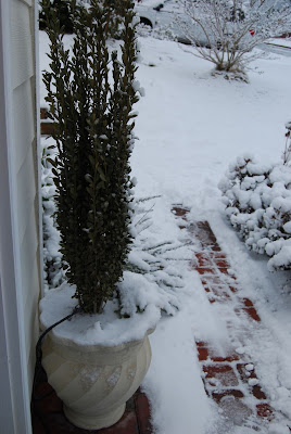
In honor of the 401st post to the oldmarrieds blog, here's some snow pictures. I'm still feeling pretty bitter about the snowfall, so I didn't really try to capture the 'winter wonderland' essence.


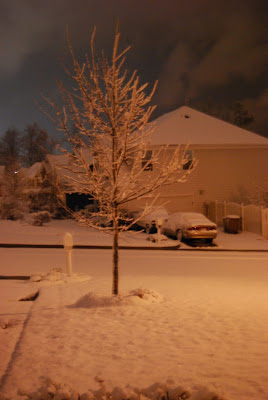
Front yard view at 5:30am, decided to go back to bed


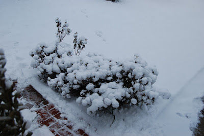
Fluffy azaleas


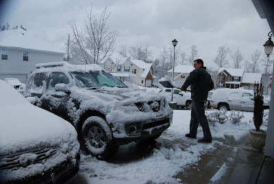
Paul shoveling snow into his truck before heading off to work


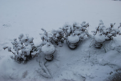
More fluffy azaleas


And this. Taken on Thursday afternoon when it was sunny and around 60. Hopefully spring will be back soon!

Sunday, March 01, 2009

Snow... blah, blah, blah

Just because I always do some kinda of blog entry from snow, I'm posting this now. The stupid weather wrecked havoc on our weekend. We were down in Atlanta having a perfectly wonderful visit and baby shower when WHAM(!) snow enters the forecast. We had to cut our trip short after Delta canceled every flight to RDU today. We also decided to rent a car to drive home... in the middle of the night. Needless to say, I'm no fan of the cold, white, evil stuff right now. Paul and I are both operating on about 5 hours of sleep since waking Saturday morning and after driving 6.5 hours home (Paul did the driving).

It did end up snowing in Atlanta (between 2-6 inches across town) and the airport was a disaster. And it did end up raining almost as soon as we got home, so we beat the airport mess and the mess on the roads by getting home ASAP. Now we're just waiting to see what happens here overnight. I'm kinda hoping for a snow morning (not day) so I can sleep in a little. Goodness knows we need it! (the sleep, that is)

Winter storm warning details - - -
"Statement as of 3:53 PM EST on March 01, 2009

... Winter Storm Warning remains in effect until 9 am EST Monday...

A strong upper level low currently over eastern Georgia will
pivot northeast across central North Carolina tonight. As this
occurs... widespread precipitation is expected to redevelop across
the warning area. Although precipitation may initially begin as a
wintry mix... precipitation is expected to become all snow by
midnight. Locally heavy snowfall can be expected at times
overnight... with the heaviest snow most likely falling along the
Interstate 40 and Interstate 85 corridor from Chapel HIll... west
to Greensboro... and southwest to Charlotte.

Storm total snowfall amounts across the warning area are expected
to range from 3 to 6 inches... with locally higher amounts. The
heaviest amounts are expected to fall across The Triad and
western Piedmont... in locations such as Burlington... Greensboro...
Winston Salem... Asheboro... and Albemarle. The lightest amounts in
the warning area are expected to fall along and east of the
Highway 1 corridor... including locations such as Raleigh... and
Louisburg.

Despite the previous warm conditions... travel will likely become
treacherous late tonight as snowfall begins to accumulate on area
roads and highways during periods of moderate to heavy snow.
Travel on bridges and overpasses will be especially dangerous. In
addition... strong and gusty northerly winds are expected... and
wind chills could frequently drop into the teens tonight through
Monday morning.

Citizens of central North Carolina are urged to monitor the
latest forecasts and conditions... and to avoid travel tonight and
Monday morning if possible."

Tuesday, February 03, 2009

Winter Weather Advisory - here we go!


This morning's weather was pretty disappointing. My car had a nice thin layer of snow. I saw lots of snow covered cars coming from the north on the way into town, but the ground was pretty wet. I did see some nice dusting on leaves/grass in North Raleigh, but nothing very exciting.

It looks like tonight/tomorrow has a little more possibility for something. Although 'they' are saying it will be patchy accumulation, so I'm withholding my enthusiasm.

NWS Winter Weather Advisory (as of 12:30pm)
"Winter Weather Advisory in effect from 6 PM this evening to
12 PM EST Wednesday


The National Weather Service in Raleigh has issued a Winter
Weather Advisory for snow... which is in effect from 6 PM this
evening to 12 PM EST Wednesday.

A strong upper level disturbance and surface low moving into the
area from the northwest... combined with cold air in place... will
lead to the development of areas of snow over north central North
Carolina tonight into Wednesday morning.

Snow is expected to begin this evening around The Triad area and
spread eastward through the Triangle area... Smithfield... and the
Rocky Mount-Wilson area through tonight. There may be a lull in
the snow for several hours overnight... then additional snow bands
on the west side of the surface low are expected to cross this
area early Wednesday morning. The snow should taper off by noon
Wednesday. Storm total snow accumulation of 1 to 3 inches is
anticipated... and locally higher totals are possible.

In addition to the snow... brisk northwest winds may drop the wind
chill into the teens at times on Wednesday
.

A Winter Weather Advisory means that periods of snow will cause
travel difficulties. Be prepared for slippery roads and limited
visibilities... and use caution while driving. People across north
central North Carolina should keep up with the very latest
conditions and forecasts from the National Weather Service."

Monday, February 02, 2009

Snow. You know it.

I couldn't resist a quick post about another possible winter weather event. Not only did Sir Walter Wally, our resident winter weather predictor, predict another 6 weeks of winter, he brings tidings of COLD and SNOW this week.

From WRAL: "The Triangle and areas to the north can expect anywhere from a dusting of snow to 2 inches, WRAL meteorologist Mike Maze said. Northern counties have the best shot at snow, but there likely won't be enough moisture behind the cold front to keep snow falling steadily Tuesday morning.... For the morning commute, it's unlikely that there'll be many problems on the roads, Maze said, given the warm temperatures of the past few days that has heated up highways.

WRAL Chief Meteorologist Greg Fishel said that Wednesday's commute could be more troubled, since temperatures will be lower, in the 20s.

More places will have a chance to see snow than on Tuesday. Flakes might be seen as far as Fayetteville during the morning commute."

I love the idea of snow, but not when it could affect my commute. I can't afford to add on any more 'adverse weather' time at work - I'm saving all my leave for more important things!