Showing posts with label weather. Show all posts

Sunday, March 01, 2009

Snow... blah, blah, blah

Just because I always do some kinda of blog entry from snow, I'm posting this now. The stupid weather wrecked havoc on our weekend. We were down in Atlanta having a perfectly wonderful visit and baby shower when WHAM(!) snow enters the forecast. We had to cut our trip short after Delta canceled every flight to RDU today. We also decided to rent a car to drive home... in the middle of the night. Needless to say, I'm no fan of the cold, white, evil stuff right now. Paul and I are both operating on about 5 hours of sleep since waking Saturday morning and after driving 6.5 hours home (Paul did the driving).

It did end up snowing in Atlanta (between 2-6 inches across town) and the airport was a disaster. And it did end up raining almost as soon as we got home, so we beat the airport mess and the mess on the roads by getting home ASAP. Now we're just waiting to see what happens here overnight. I'm kinda hoping for a snow morning (not day) so I can sleep in a little. Goodness knows we need it! (the sleep, that is)

Winter storm warning details - - -
"Statement as of 3:53 PM EST on March 01, 2009

... Winter Storm Warning remains in effect until 9 am EST Monday...

A strong upper level low currently over eastern Georgia will
pivot northeast across central North Carolina tonight. As this
occurs... widespread precipitation is expected to redevelop across
the warning area. Although precipitation may initially begin as a
wintry mix... precipitation is expected to become all snow by
midnight. Locally heavy snowfall can be expected at times
overnight... with the heaviest snow most likely falling along the
Interstate 40 and Interstate 85 corridor from Chapel HIll... west
to Greensboro... and southwest to Charlotte.

Storm total snowfall amounts across the warning area are expected
to range from 3 to 6 inches... with locally higher amounts. The
heaviest amounts are expected to fall across The Triad and
western Piedmont... in locations such as Burlington... Greensboro...
Winston Salem... Asheboro... and Albemarle. The lightest amounts in
the warning area are expected to fall along and east of the
Highway 1 corridor... including locations such as Raleigh... and
Louisburg.

Despite the previous warm conditions... travel will likely become
treacherous late tonight as snowfall begins to accumulate on area
roads and highways during periods of moderate to heavy snow.
Travel on bridges and overpasses will be especially dangerous. In
addition... strong and gusty northerly winds are expected... and
wind chills could frequently drop into the teens tonight through
Monday morning.

Citizens of central North Carolina are urged to monitor the
latest forecasts and conditions... and to avoid travel tonight and
Monday morning if possible."

Tuesday, February 03, 2009

Winter Weather Advisory - here we go!


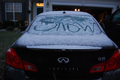
This morning's weather was pretty disappointing. My car had a nice thin layer of snow. I saw lots of snow covered cars coming from the north on the way into town, but the ground was pretty wet. I did see some nice dusting on leaves/grass in North Raleigh, but nothing very exciting.

It looks like tonight/tomorrow has a little more possibility for something. Although 'they' are saying it will be patchy accumulation, so I'm withholding my enthusiasm.

NWS Winter Weather Advisory (as of 12:30pm)
"Winter Weather Advisory in effect from 6 PM this evening to
12 PM EST Wednesday


The National Weather Service in Raleigh has issued a Winter
Weather Advisory for snow... which is in effect from 6 PM this
evening to 12 PM EST Wednesday.

A strong upper level disturbance and surface low moving into the
area from the northwest... combined with cold air in place... will
lead to the development of areas of snow over north central North
Carolina tonight into Wednesday morning.

Snow is expected to begin this evening around The Triad area and
spread eastward through the Triangle area... Smithfield... and the
Rocky Mount-Wilson area through tonight. There may be a lull in
the snow for several hours overnight... then additional snow bands
on the west side of the surface low are expected to cross this
area early Wednesday morning. The snow should taper off by noon
Wednesday. Storm total snow accumulation of 1 to 3 inches is
anticipated... and locally higher totals are possible.

In addition to the snow... brisk northwest winds may drop the wind
chill into the teens at times on Wednesday
.

A Winter Weather Advisory means that periods of snow will cause
travel difficulties. Be prepared for slippery roads and limited
visibilities... and use caution while driving. People across north
central North Carolina should keep up with the very latest
conditions and forecasts from the National Weather Service."

Monday, February 02, 2009

Snow. You know it.

I couldn't resist a quick post about another possible winter weather event. Not only did Sir Walter Wally, our resident winter weather predictor, predict another 6 weeks of winter, he brings tidings of COLD and SNOW this week.

From WRAL: "The Triangle and areas to the north can expect anywhere from a dusting of snow to 2 inches, WRAL meteorologist Mike Maze said. Northern counties have the best shot at snow, but there likely won't be enough moisture behind the cold front to keep snow falling steadily Tuesday morning.... For the morning commute, it's unlikely that there'll be many problems on the roads, Maze said, given the warm temperatures of the past few days that has heated up highways.

WRAL Chief Meteorologist Greg Fishel said that Wednesday's commute could be more troubled, since temperatures will be lower, in the 20s.

More places will have a chance to see snow than on Tuesday. Flakes might be seen as far as Fayetteville during the morning commute."

I love the idea of snow, but not when it could affect my commute. I can't afford to add on any more 'adverse weather' time at work - I'm saving all my leave for more important things!

Monday, January 19, 2009

Afternoon snow update

Well, the sun was shining this afternoon and it was vaguely warm. However, I can see some snowy looking clouds on the horizon. WRAL has the latest on the possible winter weather -


"The Triangle could take the brunt of a snowstorm pressing toward the Carolinas, the National Weather Service forecast indicates.

The heaviest band of snow is forecast along the U.S. Highway 1 corridor, from Southern Pines to Raleigh and east to Rocky Mount and Nashville. Accumulation to the south and east of the Triangle could reach 6 inches.

...

Whatever wintry precipitation falls is likely to stick around for a while – particularly on roads – because North Carolina won't see a significant warm-up until the latter part of the week.

The winter storm predicted for Jan. 19-20 comes during an auspicious – or infamous – time for snow in the Triangle.

Four years ago to the day, between 0.5 and 2 inches fell on central North Carolina, catching everyone by surprise. Roads clogged up with workers and students going home early, clogging roads at the same time they turned icy and making some commutes last more than eight hours. About 3,000 Wake County students were stranded at schools overnight.

Five years earlier, on Jan. 25, 2000, the region got its heaviest snowfall ever, 4 inches shy of 2 feet."

Ah, I remember both storms well. The 2005 storm caught me at work and I had to crawl out to the RDU airport to pick up Paul late that afternoon. It took us several hours to get home that night taking a jammed I-540 to Six Forks Road (Falls of Neuse & Capital Blvd north were completely shut down because of the hills near the Neuse River bridges). I know that we wouldn't have made it without the all-wheel-drive Subaru. She was only a few weeks old and she proved her worth that night! W hile many other cars were ditched on slick hilly roads, we made it home! The 2000 storm happened while I was away for college. Asheville saw about 4 inches (fun) but my parents were completely homebound in Raleigh. During that time they got some crazy cabin fever and thought it would be grand to call and tell me crazy things. I shall leave such crazy things unsaid.

Here's hoping for some fluffy white stuff! The pantry, fridge & freezer are stocked!

Winter Storm Watch!

Whoa Nellie! We wake up to find we're under a winter storm watch tonight and tomorrow with the chance of 2-4-6 inches of snow! Yesterday it was cold and drizzly with a little sleet. It was quite depressing. Now we're on SNOW WATCH 2009! I'm about to be off to the grocery store to pick up a few things - mostly because we never made it to the store this weekend and our pantry is bare.

... Winter Storm Watch in effect from this evening through Tuesday
afternoon...

The National Weather Service in Raleigh has issued a Winter Storm
Watch... which is in effect from this evening through Tuesday
afternoon.

A strong upper level disturbance will dive southward through the
Midwest today... and eastward through the Carolinas tonight and
Tuesday. Low pressure at the surface is expected to develop over
western South Carolina this evening and intensify rapidly as it
tracks east then northeast along the North Carolina coast tonight
through Tuesday. With cold air in place over central North
Carolina... the potential exists for a significant amount of snow as
this storm system strengthens.

Precipitation is expected to begin as a mix of rain and snow this
evening... transitioning quickly to all snow overnight... continuing
through Tuesday. Storm total snowfall is expected to be at least two
inches across the area... and could reach four to six inches by
Tuesday evening in some locations.

Some uncertainty remains regarding the precise location of the
highest snowfall totals. At this time it appears that the greatest
risk of heavy snow will be in the corridor between Highway one and
Interstate 95. However... everyone across central North Carolina
should keep a close eye on the latest conditions and forecasts
through today and tonight. Check NOAA Weather Radio or other local
media frequently for the latest information... including possible
advisories and warnings... on this developing storm.

A Winter Storm Watch means there is a potential for significant
snow... sleet... or ice accumulations that may impact travel.
Continue to monitor the latest forecasts.

Thursday, January 15, 2009

Brrrrrr and a chance of snow?

Um, it's cold. And it's getting colder. I guess this is what winter is supposed to feel like. I couldn't remember, it's been a while.

From weatherunderground.com

Tonight
Clear. Lows around 13. North winds 5 to 10 mph.

Friday
Sunny. Cooler with highs in the upper 20s. Northwest winds 5 to 10 mph.

Friday Night
Clear. Cold with lows around 11. North winds around 5 mph in the evening...becoming light and variable.

Aaaaaaaaaaaaand, drum roll please....

Sunday Night
Mostly cloudy with a chance of rain and snow in the evening...then partly cloudy after midnight. Cold with lows in the mid 20s. Chance of precipitation 30 percent.

Friday, November 21, 2008

More snow (and pictures!)

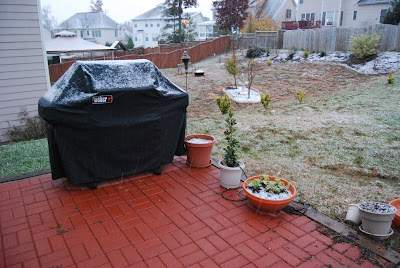
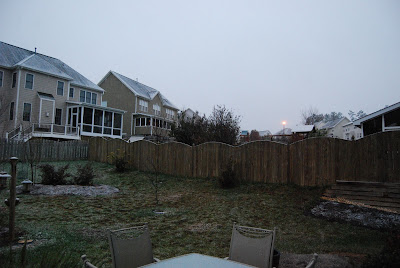
It does feel kinda wrong to not only be talking about snow, but posting pictures of it while my 'fall theme' still covers the blog. Oh well! This morning I listened to Christmas music on the radio as I drove through an early "winter wonderland."

Ok, so it wasn't the most exciting snowfall, but it is November, NOVEMBER, and the ground was covered in white! Well, it was dusted in white. It was exciting for me!

My first view of the stuff, around 6am

I stood in disbelief at the front door thinking, is this some kind of crazy pregnancy dream?


I figured it would stop and melt soon, so I took a few more before breakfast

Those strange green things growing are bulbs - they're terribly confused on what season we're in.

However, it did not stop and the sun rose so we could enjoy the wintery sight!


Yes, I am well aware that you probably need to squint and use your imagination to see the snow in these pictures, but in person, it was beautiful!


At this point I was starting to run late for work...

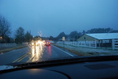
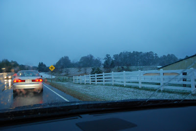
So I hopped in my snow covered car and hit the road.

I found some traffic, boo! But I also found more snow covered scenes. I thankfully did not crash!


Once I arrived in Raleigh proper, the snow was pretty much gone and there was very little on the ground. It made for a fun morning as I haven't actually driven in falling snow in a long, long time. I'm not sure if the 2 small snowfalls we've seen this week bear any indication of what we may see this winter. I'm tempted to get a snow shovel just in case!

A picture explains it all


More to come...

Tuesday, November 18, 2008

SNOW FLURRY SIGHTING

YES, I AM YELLING! Ok, so it's not that exciting, but seriously, I have spotted our first frozen precipitation of the 2008-09 winter season! It is bitterly cold today (for November) but I can handle the cold with little flurries in the air!

Today's forcast:

Chance of Snow - 30% chance of precipitation
Tuesday afternoon-
Partly sunny with a 20 percent chance of snow showers. Breezy with highs in the lower 40s. Northwest winds 15 to 20 mph with gusts up to 30 mph.


WRAL story on the cold: http://www.wral.com/weather/story/3979936/

Wednesday, September 03, 2008

Hurricane season is on!


So, it looks like little miss Hanna may stop by for a visit this weekend. We are/were planning to make a trip down to Wilmington for the weekend, but I'm really starting to rethink those plans. I know it isn't a major storm, but it's still a lot of rain and possibly wind - lovely!

And Hanna is closely followed by 2 more named storms - Ike & Josephine. September is the 'big month' for Atlantic storms and this year is definitely proving it!


Monday, April 21, 2008

April Showers [storms]

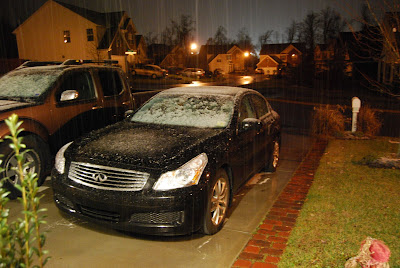
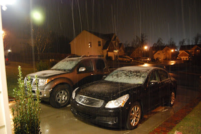
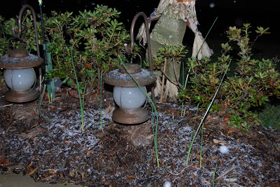
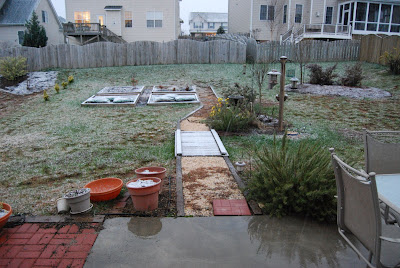
Here's what we watched on Sunday afternoon. We didn't see much rain, but the clouds were impressive.

Saturday, January 19, 2008

Update: SNOW is on the GROUND!

Wow. So in about 60 minutes time we went from barely any snow falling to snow on the ground. I am a happy, happy girl!

Thankfully Mom & Dad called (on Skype, with video and sound most of the time) to distract me while I waited for the snow to stick. They've gotten a good 1/4 inch on the ground at their house just south of Atlanta (I was so jealous to see the snow covered ground!).

(M&D say "hi!")

Here's some pictures (like I promised!)

Snow just after 4pm (not terribly impressive)


Snow just after 6pm


(the car! which is finally home, long story!)


More to come! Hopefully...

4pm update

Yes ladies & gentlemen, your OCD snow loving blogger is updating yet again!

We have SNOW. Very little rain mixed in, just SNOW! It is sticking to the wood bridge, but nothing else, YET.

Pictures will follow. I've got to eat something first!

See, I'm not the only impatient one!


(headline on WRAL)

Another update

Yes, I am this bored

Time: 3:12pm

Weather status: rain mixed with SNOW!

Snow: reports of heavier snow fall near RDU (Paul called from the tarmac)

Mood: improving! yet still hungry.

Snow? An update

Time: 2:13pm

Weather status: light rain, 40ish degrees

Snow: none sighted in immediate area

Mood: grouchy! yet hungry.

Forecast:

Friday, January 18, 2008

More snow?

Here we go again - another forecast with snow in our immediate future. If you're a loyal reader of the blog you know that I blog more about the weather than I do about our life. It is an illness, I know. I would have seriously studied atmospheric science had it not been for the requirements of organic chemistry and lots of calculus! So instead, now I just blog out interesting impending weather. I really hope we see something pretty tomorrow - I want to take my new camera out and blog pictures (they're more fun than reading I'm sure)!

WRAL's headline, "Measurable snow possible"

Here's the latest advisory from the NWS:
"The National Weather Service in Raleigh has issued a Winter Storm
Watch... which is in effect from Saturday morning through Saturday
afternoon.

Precipitation is expected to overspread central North Carolina
during the day on Saturday. As it does so... much colder air will
spread into the area from the west. The airmass appears to be cold
enough at the onset of the event Saturday morning for most of the
precipitation to fall as snow across the western Piedmont. Further
east toward the northern Piedmont and northeast coastal plain... the
precipitation will likely start out as a cold rain Saturday morning
but should change over to snow during the late morning or early
afternoon.

Snowfall accumulations of 2 to 4 inches are possible... which could
cause significant impacts to travel.

Some uncertainty still exists with this event. The exact track of
the surface low and the timing of the colder air will ultimately
determine the snowfall accumulation potential.


A Winter Storm Watch means there is a potential for significant
snow... sleet... or ice accumulations that may impact travel."

Snow from last January... (1/18/06)

Thursday, January 17, 2008

Today's headline, "Snow turns to rain across the Triangle"

Boo. We got like 3 seconds of snow, 30 minutes of sleet and hours of rain. Well, not exactly "boo" on the rain; we need it, like really, really need it. It's been hovering around 35 degrees ALL day with a persistent drizzle. Seriously, why couldn't we get a little more snow!? I was looking forward to a snow day at home where I could take pictures and blog them from the comfort of my living room and in my PJs. I shouldn't complain too much, work was delayed 2 hours!

This was about the extent of it (photo from WRAL):

Wednesday, January 16, 2008

Snow? Is coming?


My office has already been delayed until 10am - wooooooooo! Come on snow! The 'rents in Atlanta have already seen some of the white stuff :)

Current advisory (emphasis my own):

... Winter Weather Advisory remains in effect from 4 am to 12 PM
EST Thursday...

Confidence continues to increase that there will be a period of
mixed light snow and sleet over the region late tonight... before
changing to freezing rain
around daybreak... then to all rain by
noon. This could lead to a light accumulation of snow... sleet and
freezing rain before the change- over to all rain. Surface
temperatures near or slightly below freezing around daybreak should
slowly warm above freezing by late morning... then into the mid to
upper 30s during the afternoon.

Since the precipitation is expected to arrive just before the
morning rush hour... any light accumulation of snow... sleet... or
freezing rain would increase the potential for a significant
impact during the morning commute
. This includes the northeast Piedmont
and western sandhills regions... extending roughly along and west
of a line from near Rockingham to Sanford... Raleigh... Louisburg...
and Warrenton. It appears that bridges and overpasses will pose
the greatest problem for icing.

A Winter Weather Advisory means that periods of snow... sleet... or
freezing rain will cause travel difficulties. Be prepared for
slippery roads and limited visibilities... and use caution while
driving. Allow extra time and plan for travel delays.

Sunday, December 30, 2007

Rainy day


I am thankful for the very rainy day we're experiencing today, but it has made me completely unproductive.

Keep on raining! I'll stay in my pj's all day :)